Description of the Activity
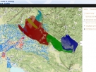
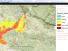
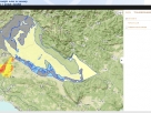
Geoportal database consists of data about drinking water sources (public and private water distribution systems) in the regions of Goriška, Gorenjska, Obalno-kraška and the Italian region of Friuli-Venezia Giulia.
Geovisualization includes various spatial data layers.
Spatial data analysis with GIS portal
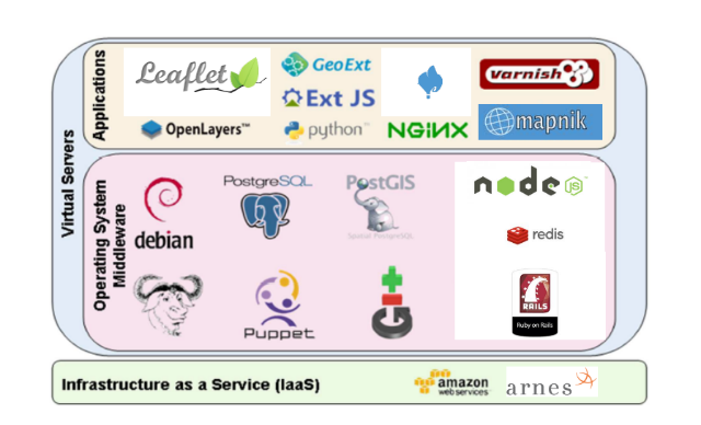
Gis portal simplifies geographical data processing. Both new layers (vector or raster) and new data can be inserted and the existing data can be modified; it also enables the dynamic geospatial data visualization, etc.
GIS portal thus enables the information support when presenting the results of hydrogeological modelling and other maps or layers.
It is possible to transfer hydrogeological data model by clicking the links below. The data must be further processed in GIS.
Complete data of hidrogeological model
Hidrogeological data model ( format : json)
Hidrogeological data model ( format : text)
Photo Gallery
Photograph source: Archive of ZZV Nova Gorica


